What it is
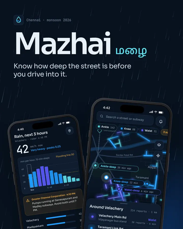
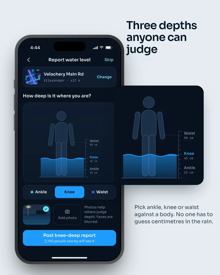
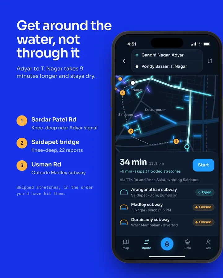
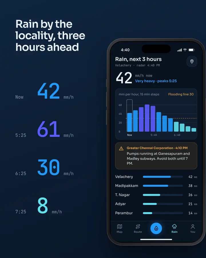
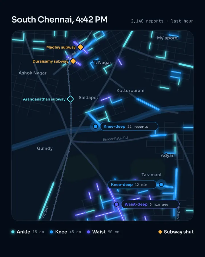
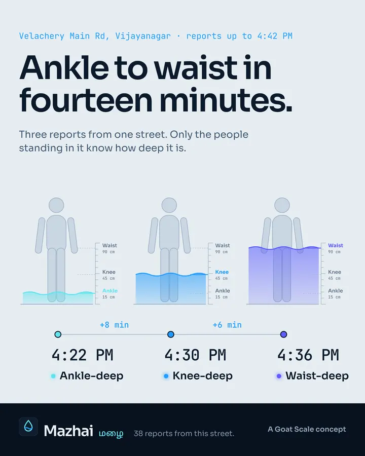
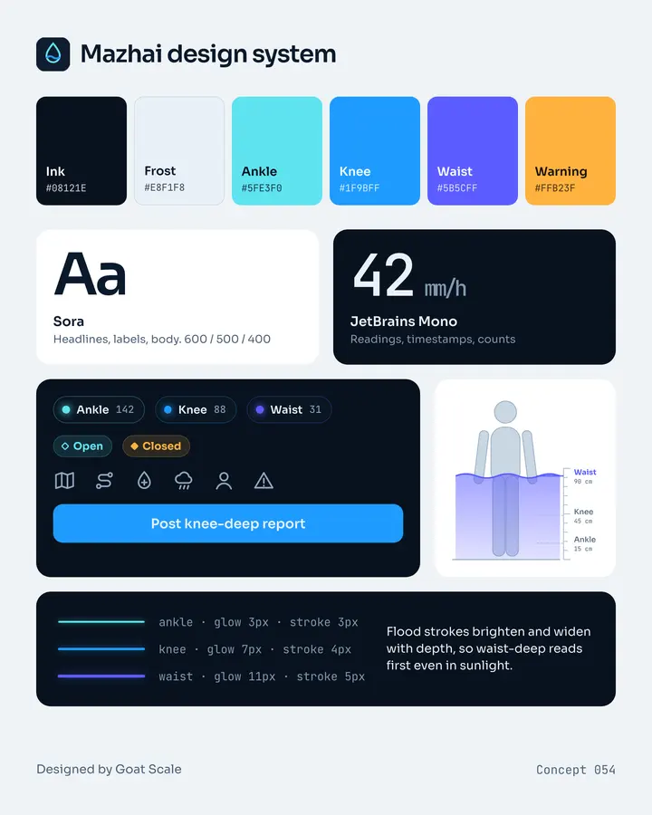
A live, crowd-reported street flooding map for Chennai during the monsoon. People report water level at their street (ankle / knee / waist), the map colours roads, routes avoid flooded stretches, and subway/underpass status is shown (Ganesapuram, Duraisamy, Madley subways). Also rainfall now-cast by locality.
The problem it solves
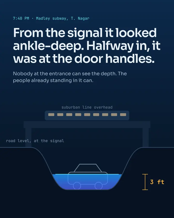
Every monsoon, commuters in Chennai drive into flooded subways and streets because nobody knows the water level until they're in it.
The part you remember
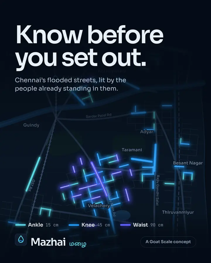
The map of Chennai with flood segments glowing blue-cyan at three intensities.